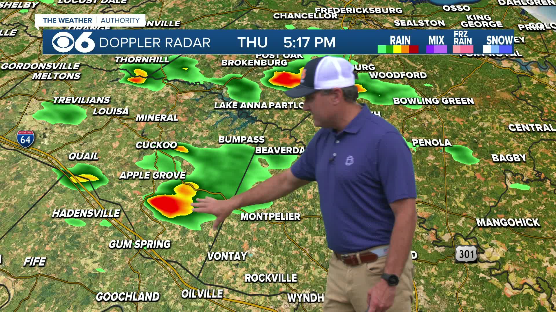
A severe thunderstorm intensified rapidly over Goochland, Henrico, and western Hanover county this evening, and then moved east through the north side of Richmond and southern Hanover county. The hardest hit area was near Mechanicsville, along Kings Charter Drive and New Ashcake Road. The image below shows the storm directly over the area.
The amount of lightning almost makes it impossible to see where the most intense radar returns are located. The lightning hit a home on Jennings Branch Ct. starting a large fire. Thanks to Michael Spagnolo for sending us this picture.
Extensive tree damage occurred as a wet microburst hit the area. This phenomenon occurs when a large region of air several thousand feet into the storm accelerates downward, hitting the ground and spreading out in all directions. These winds can easily reach 80 to 90 mph, depending on the setup for the day. In this case, winds of 60+ appear very likely. The image below shows Doppler velocities at the time of the microburst. The area in green that is circled in red are winds rushing south, or in this case, toward the radar site in Wakefield. It’s a small indication of what was happening on the ground at that time.
The storm also produced large hail, which was estimated at over 2″ in diameter at the height of the storm.
At one time there were more than 4,400 Dominion Virginia customers without power in Hanover county alone. Scattered storms are likely again on Tuesday. We’ll continue to track them for you on the air and online. Follow me on twitter @ZachDanielCBS6 and like me on Facebook ZachDanielCBS6 for frequent updates. Stay with CBS 6, The Weather Authority. -Zach


