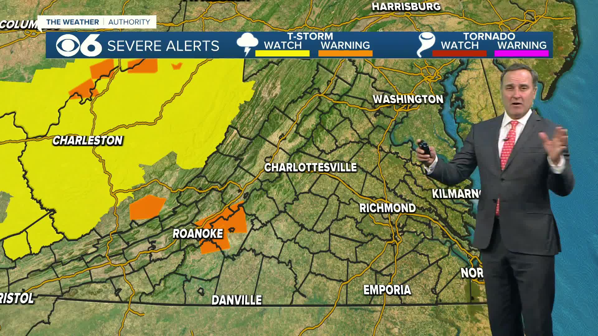
RICHMOND, Va. (WTVR) — A powerful storm system is bringing swift changes to our weather in the Commonwealth Tuesday into Wednesday.
The rain associated with this system will arrive in central Virginia early Tuesday morning and will end around midnight Tuesday/Wednesday.
Below is the total rainfall expected from this system from our in-house computer model, which I think is pretty close to what will be realized across the area:

In addition to the rain, there will be enough warmth, moisture, and wind shear for a few severe thunderstorms in the afternoon and early evening hours.
The slight risk area below indicates the mostly likely area to experience severe weather Tuesday (including damaging straight-line winds and isolated tornadoes):

A very strong cold front associated with this system will move through the area Tuesday evening, with much colder air rushing into the state overnight.
A freeze warning is in effect Wednesday morning for the counties shaded in dark purple below:
High pressure will remain in place through Thursday as well, so I think we’ll likely see frost/freeze conditions again Thursday morning.
If you took advantage of the warm weather this past weekend to get an early jump on Spring planting, be prepared to cover up or bring indoors any sensitive vegetation. Temperatures will rebound to near-normal levels by Easter weekend. -Zach
Click here and “like” Zach on Facebook
Click here and “follow” Zach on Twitter


