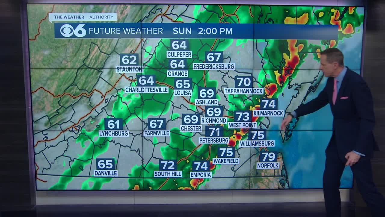
SUNDAY MORNING UPDATE:
Karen is just barely a tropical depression, located roughly 100 miles from the Gulf coast. Karen will continue to weaken and move eastward along the Louisiana, Mississippi, Alabama & Florida coast.
The storm will not move northward towards Virginia, but some of the moisture from Karen will get drawn up ahead of Monday’s cold front. This will allow our local storm system to produce some extra rainfall.
Additional details can be found in the CBS 6 Hurricane Tracker.
LATE SATURDAY EVENING UPDATE:
Karen has now weakened to a tropical depression over the north-central Gulf of Mexico. The storm remains nearly stationary and maximum sustained winds are now at 35 mph. The wind shear and dry air I discussed below led to the downgrade in status this evening.
SATURDAY EVENING UPDATE:
Tropical Storm Karen is struggling to maintain tropical storm status tonight, as several factors are working against it. New convection (thunderstorm development) is only occurring to the right of the center, as significant wind shear is tearing the storm’s circulation apart.
That combined with very dry air working in from the northwest is contributing to the weakening process. The graphic below shows the water vapor imagery (water content in the air). The green areas show deep moisture, while the orange represents dry air. You can clearly see the dry air working into the storm.
As of the 7 P.M. update from the National Hurricane Center, Karen was located about 170 miles west-southwest of the mouth of the Mississippi River. It is nearly stationary with maximum sustained winds are 40 mph. The hurricane hunters were only able to find a very small are of tropical storm force winds just northeast and east of the center. It is likely that Karen will be downgraded to a tropical depression Sunday.
The projected path now takes the storm near the Louisiana coast midday Sunday, then east toward northern Florida Sunday night and Monday. This is a result of the upper level flow ahead of an approaching cold front at the surface. Some of the tropical moisture may get pulled north along the front into the Mid-Atlantic Monday night, potentially increasing rainfall across the region.


