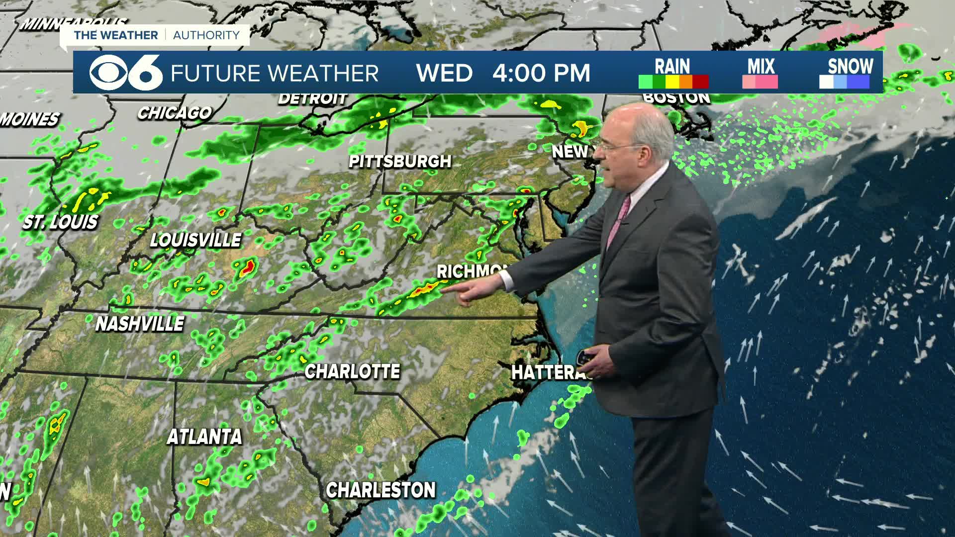
An approaching cold front will cause some thunderstorms across the state Thursday afternoon through Thursday evening.
Storms will start scattered by late afternoon and turn more numerous during the evening as the storm system draws closer.
There is the potential that a few isolated storms may produce strong wind gusts and some hail. That potential for the strong storms will last through about midnight.
The amount of cloud cover this afternoon will play a role in whether or not we will see enough instability to produce storms that turn very strong.
As the front passes overnight, the threat for stronger storms will end. There will be some leftover showers behind the front for the first half of Friday.
Stay with CBS 6, We’ll Keep You Ahead of the Storm
Get breaking news alerts and severe weather updates on your smartphone. Download the CBS 6 Breaking News App now:
Android | Blackberry | iPhone and iPad
Other weather links:


