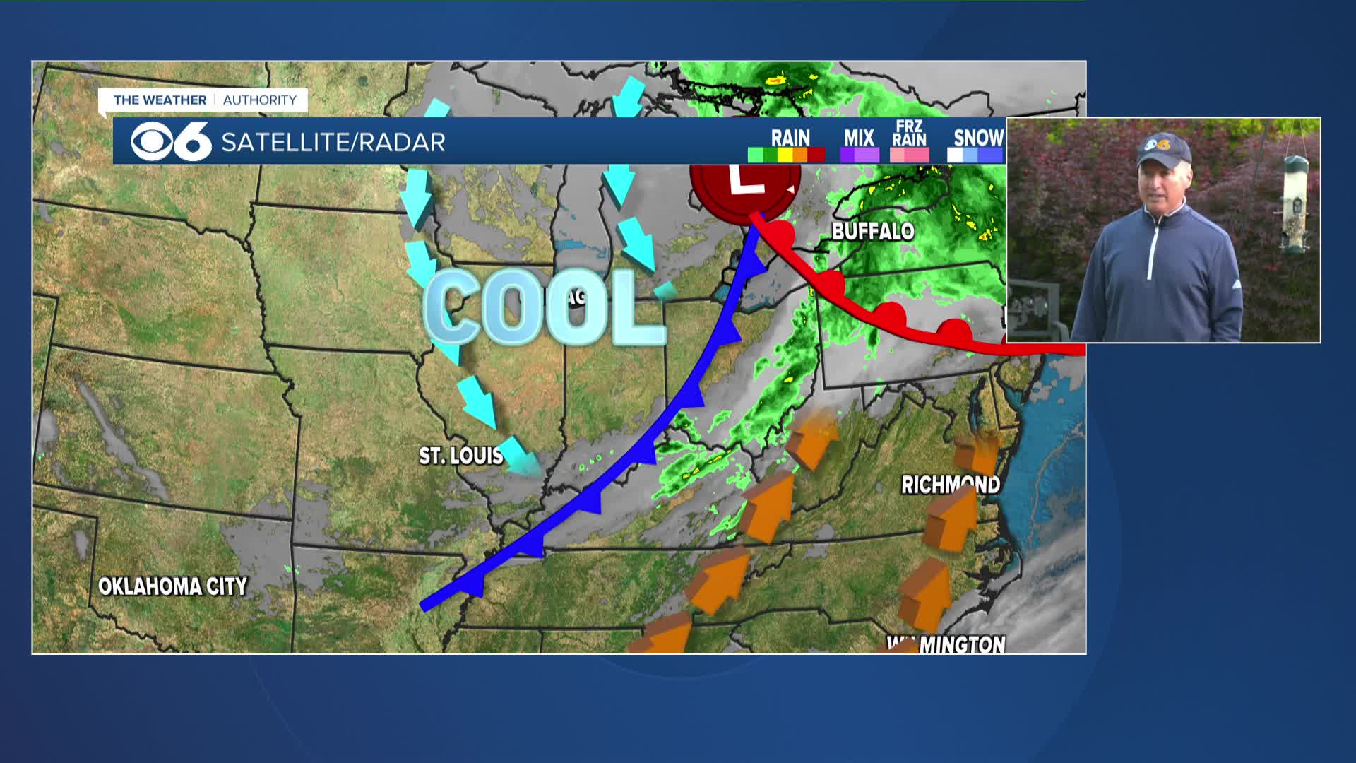
A strong cold front moved through the area Saturday evening with some strong storms. This front was the boundary between the very warm/hot and muggy air that we have seen for a few months, and the cooler and less humid air to the northwest.
Less humid air will spill into the area on Sunday. As high pressure moves overhead during the first half of the week, the nights will be mainly clear with calm winds. This will allow temperatures to drop down to near their dew points, which will be in the lower 50s. Dew points this low are very typical of autumn.
The last time we had lows in the low to mid 50s was back in early to mid June. The last time we had four consecutive days of lows in the 50s was June 15 through June 19.
Daytime highs will still be very mild with readings in the upper 70s and lower 80s through mid-week. These temps will be a few degrees below normal.
This turn to a more fall-like air mass is just about on target. The autumnal equinox — the start of fall — is on September 22 at 10:49 a.m.
The days are also turning noticeably shorter. We are losing one to two minutes of daylight each day.


