RICHMOND, Va. -- Jose has weakened slightly to a tropical storm with sustained winds of 70 mph.

As it tracks northwestward over warmer water, it is expected to strengthen a bit and regain hurricane status.

The forecast track continues to be between the East Coast and Bermuda, but the latest run of computer models has shifted that path slightly westward.

The spaghetti plot of all of the models still agree with that general track, but a few isolated models do bring it a bit closer to the coast after doing a loop well offshore. Any track closer to the coast would bring it over water that is a bit cooler. None of the latest computer models has Jose making a direct hit on the Carolinas or Virginia.

Jose's track will be dictated by high pressure centers and fronts/troughs in the atmosphere. With these various factors combined, the forecast track of remaining offshore looks valid.

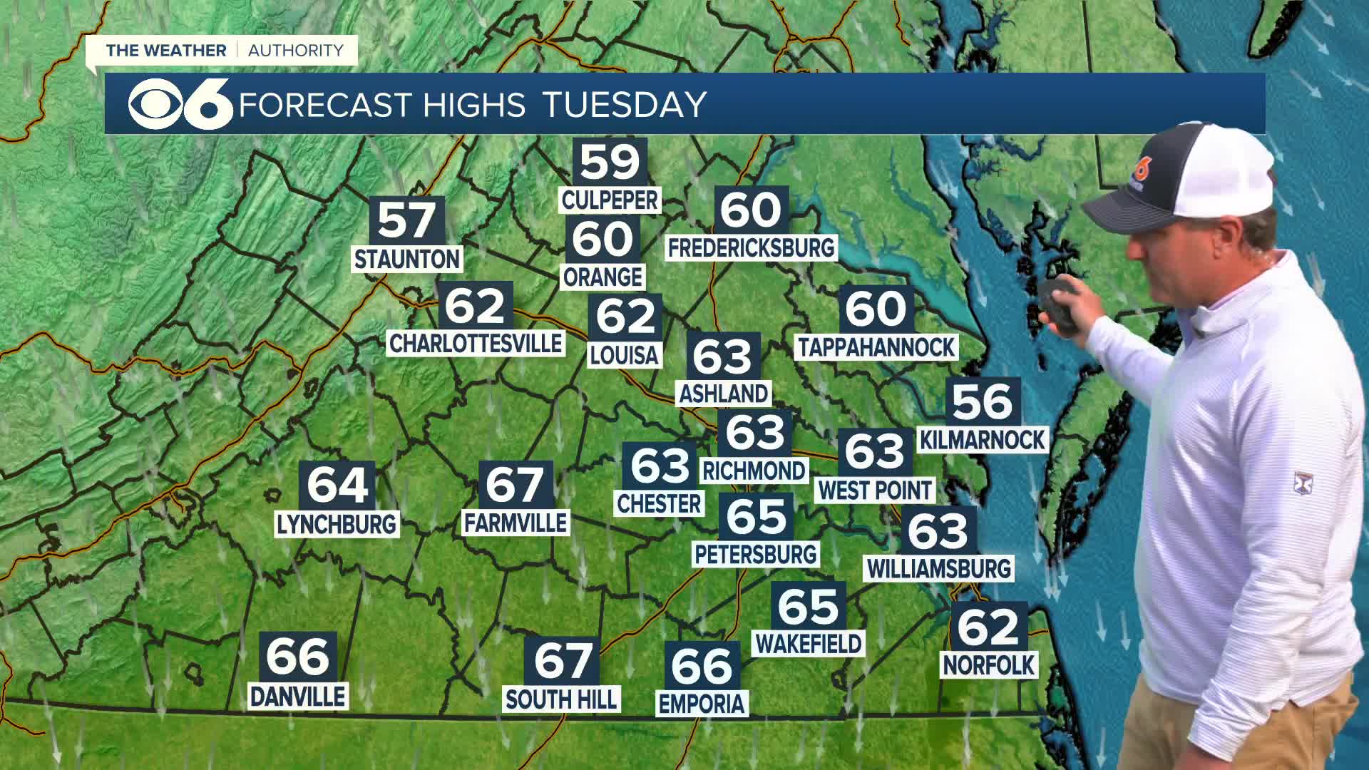
With this slightly closer path, it does mean a few local impacts. We may see wind gusts pick up a bit later Monday into Tuesday, perhaps exceeding 25 mph inland and higher gusts near the coast. The biggest impact will be a large increase in surf at the beaches. Waves at Virginia Beach and the Outer Banks could easily exceed 12 feet.

We are also watching two disturbances in the eastern Atlantic, and both show signs of future development. If they do strengthen into named storms, they would be named Lee and Maria. It's still way too early to see if they will have any impact on the United States or other land areas.

We will continue to provide updates on all of these systems over the next week. Additional information is available in the CBS 6 Hurricane Tracker.
CBS 6 Storm Team Links:


